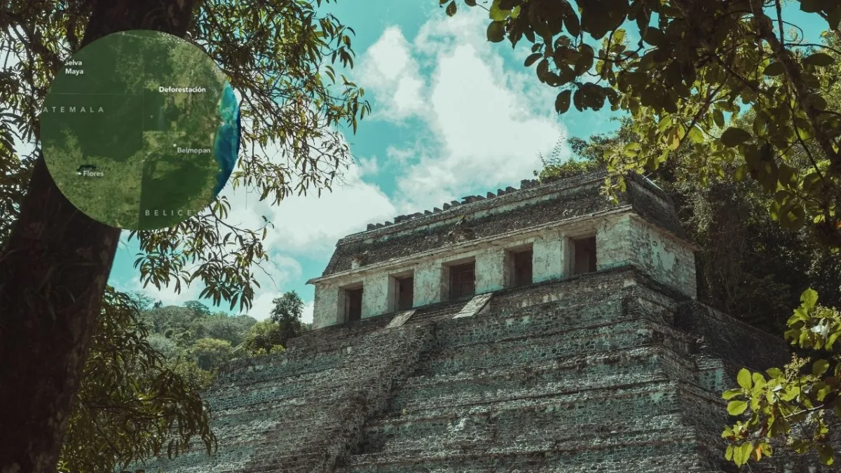
The Mayan Forest, the largest expanse of tropical forest in Mesoamerica, covers some 150,000 square kilometers running through southeastern Mexico, northern Guatemala, and Belize. This vast ecosystem is second in size only to the Amazon on the American continent; It is also home to countless species of flora and fauna, hundreds of archaeological sites and human communities, largely dependent on the resources it provides. Due to its great importance to the world, NASA has investigated the impact of deforestation in this place.
In recent decades, satellite data has revealed a worrying decline in forest cover in the Mayan Forest, particularly in the Petén department of Guatemala. This territory, which is part of the Mayan Biosphere Reserve, has lost 33% of its forest mass between 2001 and 2023, a figure that exceeds the national average of forest loss in Guatemala (23%). The main drivers of this deforestation have been the expansion of livestock farming and, more recently, oil palm plantations.
“The expansion of livestock farming has been the main factor driving deforestation in Guatemala in recent decades. “We often see that forests that were initially cleared for livestock later become oil palm plantations,” Diego Incer, a remote sensing expert at the Universidad del Valle de Guatemala, told NASA.
NASA
(You can read: Young mother and her baby survive five days in the jungle after a plane crash)
The alarming loss of forest cover
In 2001, barely 30 square kilometers of land in Petén was dedicated to oil palm cultivation. By 2017, this figure had increased to 860 square kilometers, according to analyzes based on images from the Landsat program. These crops, essential for the production of vegetable oil used in food and consumer products, have occupied previously forested areas, particularly in the southeastern region of the department.
Even in protected areas, such as the Laguna del Tigre National Park and the Sierra del Lacandón, deforestation rates are alarming. Despite strict land use regulations, these areas have been invaded by illegal activities, such as unauthorized logging, land speculation and timber trafficking. Investigations carried out in these areas have detected suspicious pastures with little presence of livestock and clandestine landing strips, suggesting links to illicit activities.
On the other hand, community concession zones, established in multiple-use areas of the Maya Biosphere Reserve, have shown greater resistance to forest loss. Low-impact initiatives such as sustainable timber harvesting, allspice and palm frond harvesting, and honey production have enabled local communities to generate income while conserving the natural environment.

NASA
How to mitigate deforestation in the Mayan Jungle?
A key element to mitigate deforestation in Guatemala has been the use of satellite technology. Since 2009, the Geospatial Information System for Fire Management (SIGMA-I) has enabled local authorities to quickly monitor and respond to forest fires. This system, developed by the National Council of Protected Areas (CONAP) with support from NASA and USAID, has distributed daily information on hot spots to local communities and actors, contributing to reducing forest losses.
Organized communities, such as those that are part of the Association of Forest Communities of Petén (ACOFOP), They have managed to keep deforestation rates almost at zero in their areas. This success has led to the renewal of forestry concessions for an additional 25 years, consolidating the importance of local and sustainable forest management.
(You may be interested in: Mandé: stories of a community lost in the jungle and that has been classified as guerrilla)
The future of the Mayan Jungle, in the hands of the authorities
Although deforestation remains a problem, Guatemalan authorities have begun to regain control in critical areas of the Mayan Biosphere Reserve. Since 2024, illegal livestock operations have been expelled from more than 137,000 hectares and reforestation efforts have begun. Furthermore, the rate of forest loss has decreased in the last decade, indicating a possible stabilization of the country’s total forest area.

NASA
“The success of these initiatives demonstrates what is possible when technology and community organization are combined,” said NASA scientist África Flores. However, the challenge remains enormous: to replicate these success stories throughout the Mayan Forest and guarantee the conservation of one of the most important lungs in Mesoamerica.
The Mayan Forest, with its cultural and natural wealth, faces an uncertain future. But coordinated efforts between communities, local authorities and technology offer an opportunity to reverse the destructive trend. and ensure the survival of this invaluable ecosystem for future generations.
Source: https://www.noticiascaracol.com/mundo/la-selva-maya-se-esta-reduciendo-segun-la-nasa-preocupantes-imagenes-del-ecosistema-so35


